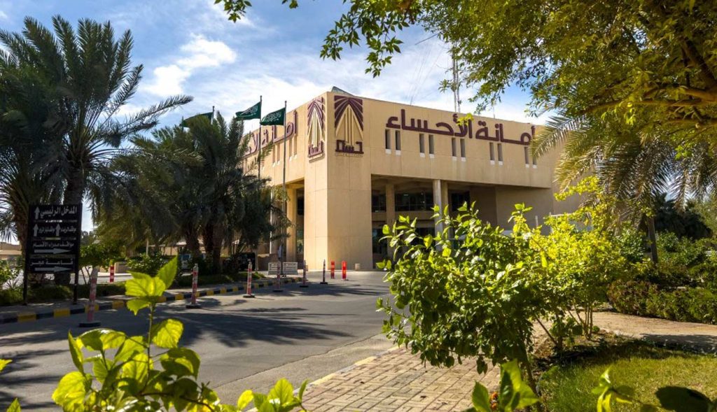
Updated Al-Ahsa Municipality has updated data on 2,987 parcels of land on the Geographic Explorer since the beginning of 2026, as part of its ongoing efforts to update spatial data related to land and real estate, and to support the delivery of related municipal services.
Khalid Bouoshul, the official spokesperson for the Al-Ahsa Municipality, explained that since the beginning of 2026, the municipality has processed 2,987 requests to update land parcel data on the Geographic Explorer.
He noted that the updating efforts aim to improve the accuracy of land parcel data and link it to updated geospatial information, thereby facilitating the completion of real estate-related procedures, most notably updating deeds, issuing construction and commercial permits, and certificates of completion. He noted that updating parcel data on the Geographic Explorer represents an important step in completing a number of municipal procedures, by matching and updating the plot’s spatial data to ensure it is processed in accordance with approved data, thereby helping to reduce issues arising from discrepancies or outdated land data.
These efforts are part of the Secretariat’s work to develop the geographic information system, improve the reliability of spatial data, and enhance its use in providing municipal services to beneficiaries.

Al-Ahsa Municipality Updates Data for 2,987 Parcels of Land on the Geographic Explorer
As part of efforts to improve the accuracy of spatial data, the update supports deeds, permits, and building certificates and reduces discrepancies in land data.