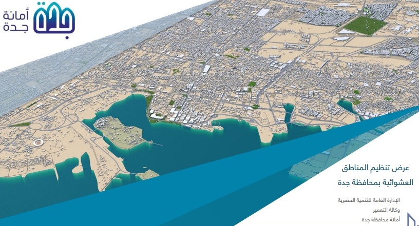

The Jeddah Provincial Secretariat has begun implementing the development of the master plan for informal settlements, with the Secretariat beginning to study the master plan through eight projects aimed at preparing conceptual guidelines for these areas—with a focus on avoiding further development, addressing visual distortions, and improving the quality of life for the residents of Al-Arous.
The study covers 32 informal settlements spanning an area of more than 214 million square meters, of which only 24 million square meters are owned with legal deeds. The Municipality of Umm al-Salam recorded the highest proportion of informal settlement area at 54%, followed by the Municipality of Taiba with 32%, while the municipalities of Abhur, Al-Safa, and the historic district of Jeddah had no informal settlements. Two years ago, the Municipality began studying the master plan through eight projects to prepare conceptual plans for these areas, with the aim of preventing further development, addressing visual distortions, and improving the quality of life for the residents of Al-Arous.
Development projects were launched last month in the neighborhoods of Ghail, Petromin, and some neighboring areas, with the rest to follow in sequence after property ownership is verified, compensation funds are secured, and project costs are approved. The studies focused on widening streets and thoroughfares , establishing a network of internal longitudinal and transverse roads and dividing them into arterial and collector roads to facilitate traffic flow and improve the efficiency of arterial roads, utilizing part of the land from buildings to be demolished to secure sites for services, and focusing on schools, parks, mosques, andservice facilities, and the creation of community centers where educational, health, and commercial services are provided, while promoting commercial use along the main thoroughfares and streets prepared after development; dividing the areas into planning units; and locating public services in each sector according to the hierarchical structure of the planning units, while preserving the urban fabric of the city center and neighboring neighborhoods and utilizing the expansion areas in the neighborhoods to the east as zones for public services and recreation.