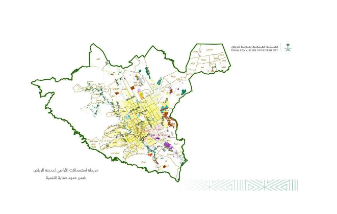
Launched The Royal Commission for Riyadh City has launched comprehensive field surveys of land and building uses, covering all areas within “Development Protection Boundaries,” covering an area of 5,960 km²; this initiative comes in light of the population growth and steady urban and economic development Riyadh is experiencing across all sectors, as
the Authority is committed to continuously monitoring and updating this information within its urban databases on the city’s current conditions, through comprehensive studies of land and building uses, as well as surveys.
This survey aims to monitor and record all parcels of land and developed buildings, along with their areas, uses, and descriptions (purpose, building types, conditions, number of stories, etc.). This information will be utilized in planning, development, studies, and research, whether by the Authority or by other entities in the city—including those in the public and private sectors—as well as by researchers.