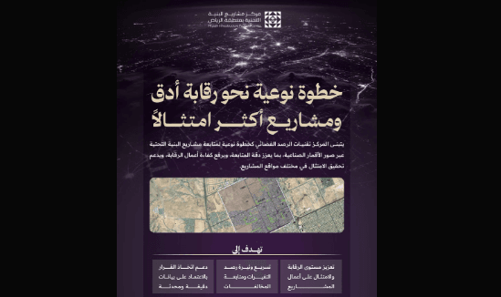

Riyadh Infrastructure Projects Center has strengthened the monitoring system on infrastructure projects by employing advanced monitoring techniques based on satellite imagery, in a move aimed at increasing supervision efficiency, improving implementation quality, and enhancing compliance, supporting the development of the urban landscape and keeping pace with the rapid growth in the region.
The adoption of satellite monitoring represents a shift in the monitoring methodology, as it enables periodic analysis of satellite imagery that provides an accurate and integrated reading of the status of excavation works and associated projects, providing a comprehensive and up-to-date view of projects across the region, beyond the limitations of traditional methods, and enhancing proactive monitoring capabilities.<These technologies enable the monitoring teams to access real-time and reliable data, support the coverage of larger areas in less time, and contribute to achieving the objectives of monitoring and increasing the speed of decision-making. These capabilities are reflected in improving the efficiency of field tours, raising the level of accuracy and discipline in following up implementation, in addition to detecting challenges early and addressing them effectively.
The application of satellite monitoring techniques comes within the “Origins” program launched by the Center as a transformational program that includes a package of organizational, technical and technical initiatives aimed at developing the infrastructure system, raising its operational efficiency, and enhancing integration between the relevant authorities, in order to support the sustainability of projects and the quality of their implementation in the Riyadh region.
The application of satellite monitoring techniques comes within the "Origins" program launched by the Center as a transformational program that includes a package of organizational, technical and technical initiatives.