«The Ministry of Municipalities and Housing Announces the Implementation of 47 Aerial Survey Projects Over 56 Years, Covering More Than 771,000 km²
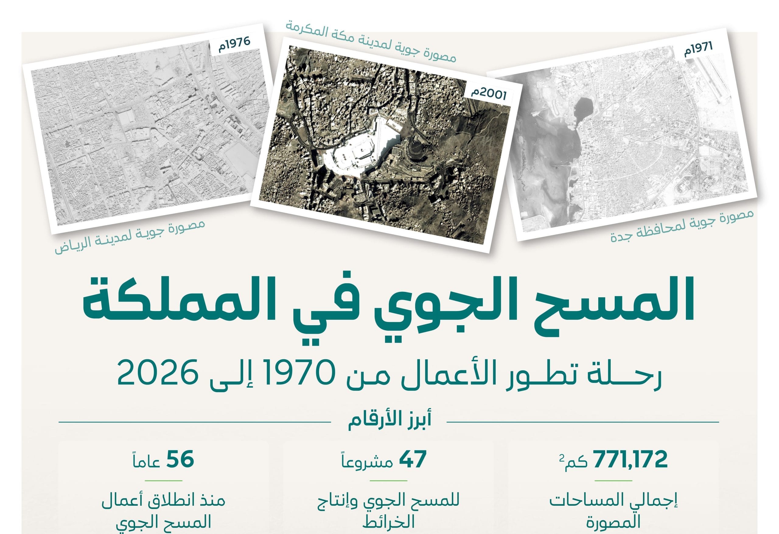
Reading time: 2 MinutesThe Ministry of Municipalities and Housing, represented by the Urban Planning and Land Agency, announced that it has carried out 47 aerial survey and mapping projects since 1970, which have contributed to the creation of a geospatial database covering more than 771,172 square kilometers; this has supported urban planning efforts, and provided historical and modern aerial images of urban areas across the Kingdom, thereby enhancing decision-making and supporting project implementation … Read more