







03/09/2021
“Amlak publishes contractor classification system, penalties include revocation of classification or 5-year ban on renewal
Riyadh property

03/09/2021
Riyadh property
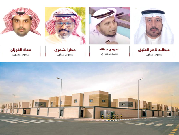
28/08/2021
Riyadh property

25/08/2021
Riyadh property

21/08/2021
Riyadh property

21/08/2021
Riyadh property

11/08/2021
Riyadh property

24/05/2026
Amlak Real Estate

24/05/2026
Amlak Real Estate

24/05/2026
Amlak Real Estate